A Journey through Fjallabak

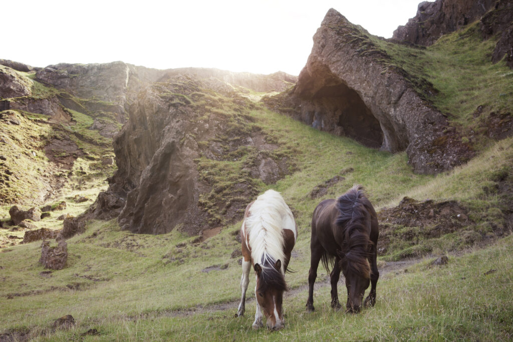
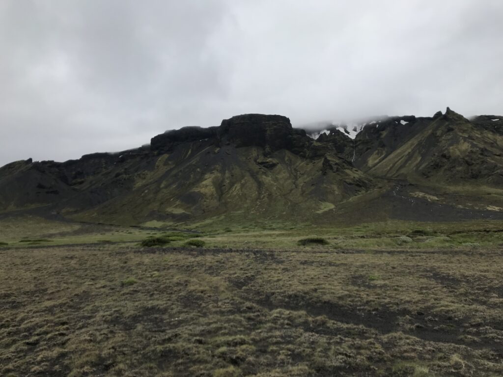
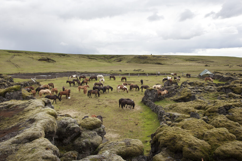
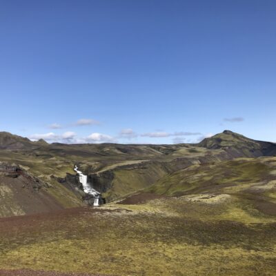
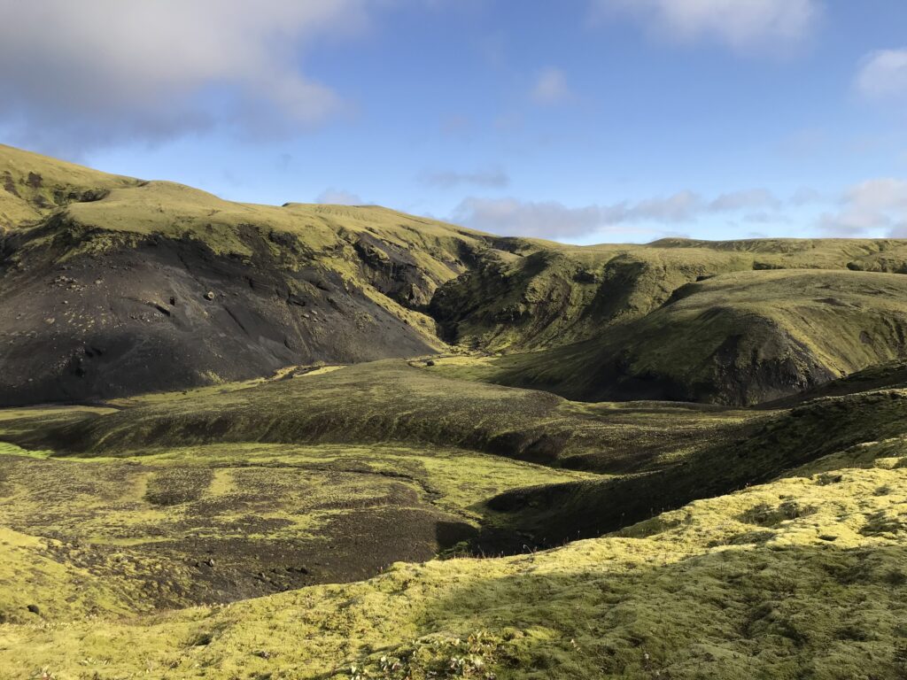
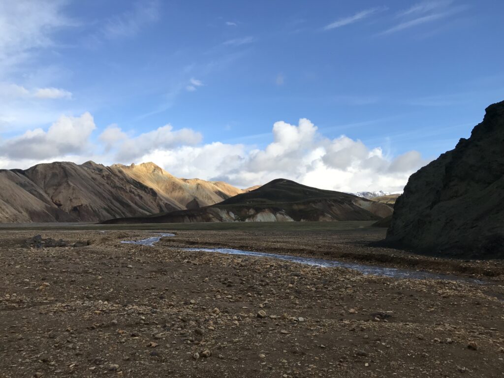
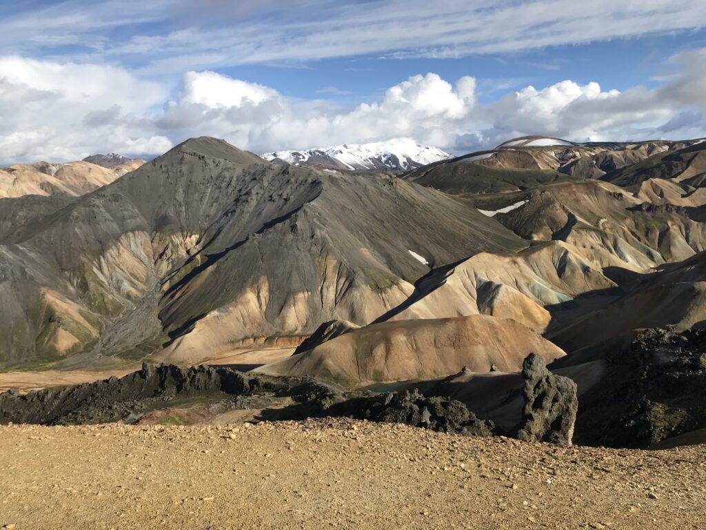
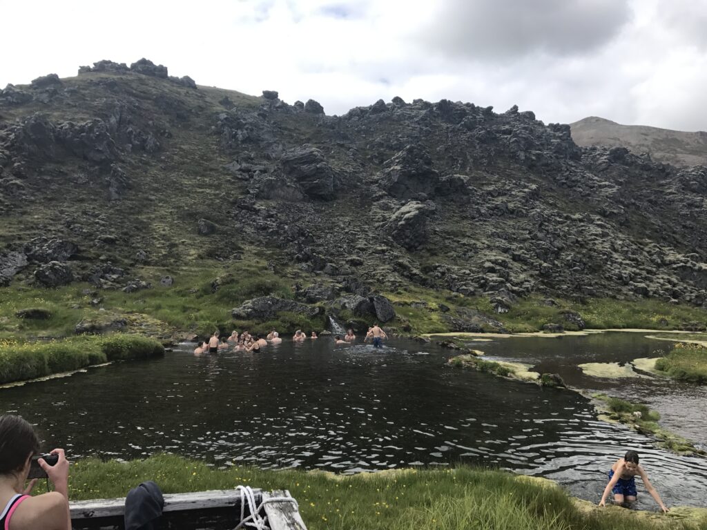
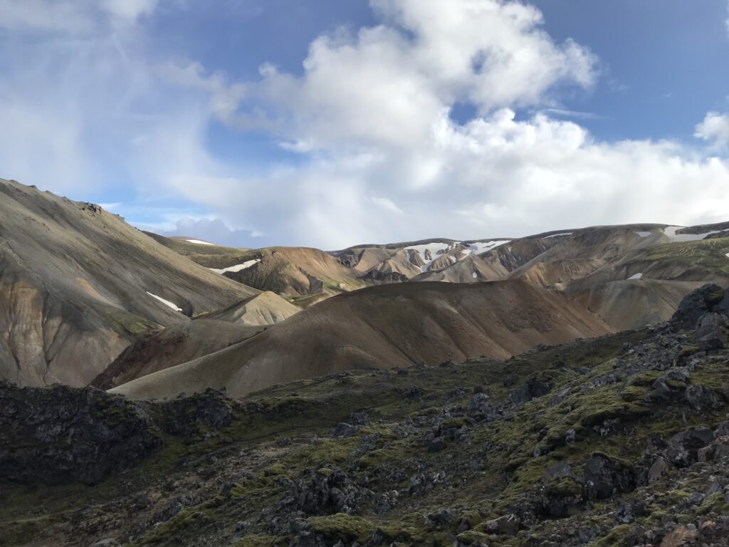
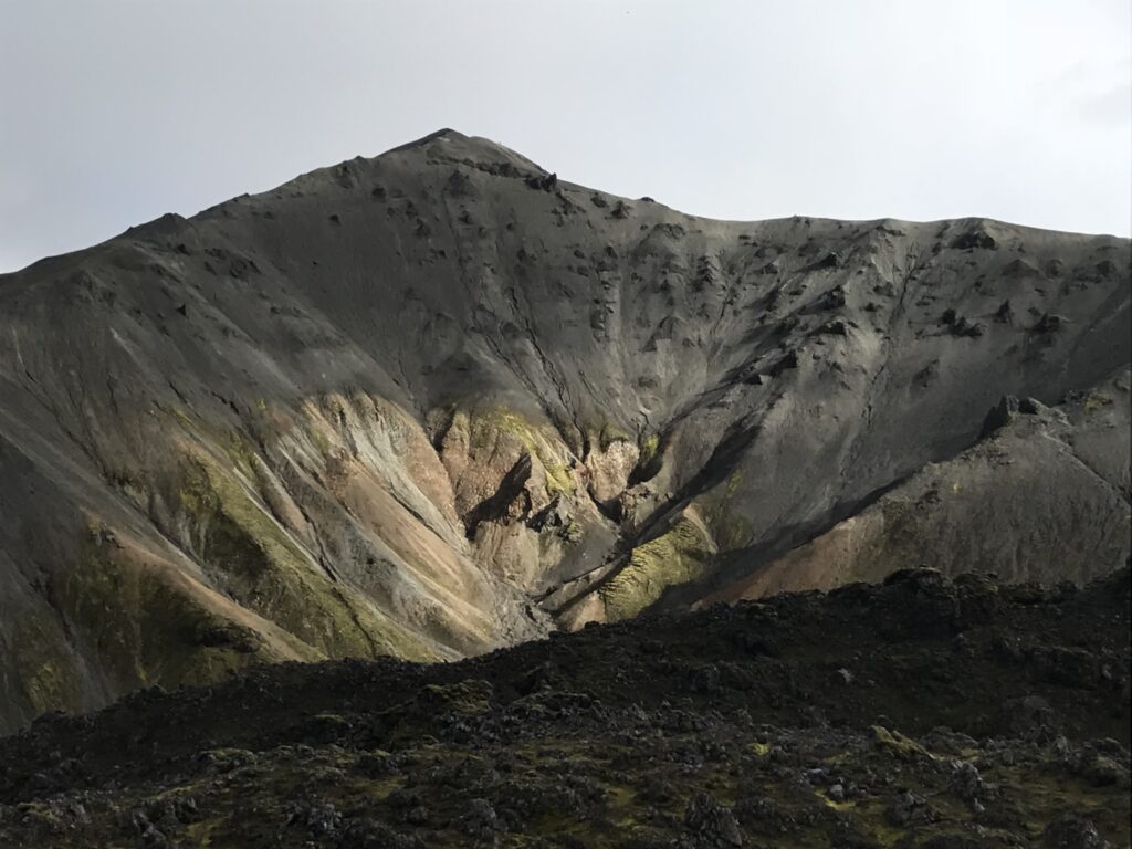
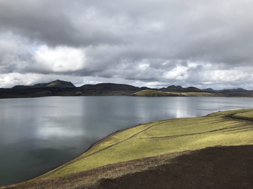
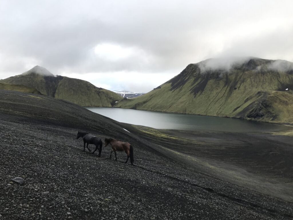
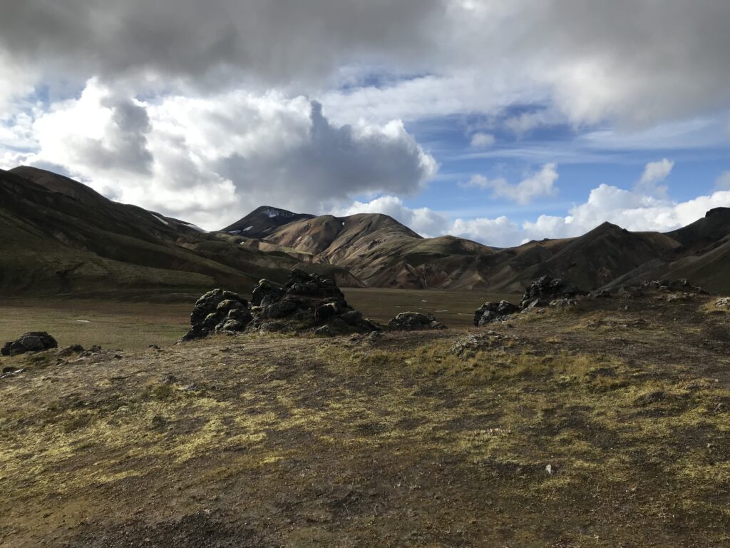
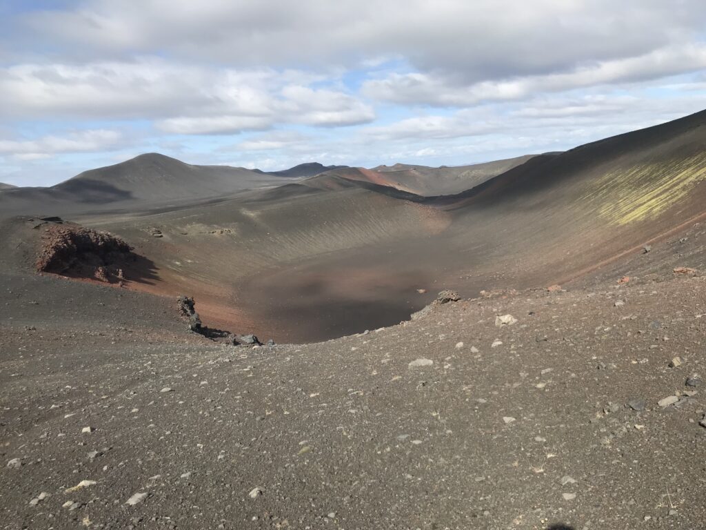
Fjallabak was established as a Nature Reserve in 1979. It stretches over 47.000 hectares in the heart of Iceland, North of Myrdalsjökull. In its center lies Torfajökull, a central volcano with an active volcanic system that has shaped the region with its mountains, sculptured by volcanoes and geothermal activity, covered by lavas, sands, rivers and lakes. This volcanic system created the largest rhyolite distribution and one of the largest geothermal area in Iceland, mostly known under the name Landmannalaugar. The hot springs, merging with the river offering a great opportunity for a swim. The red and yellow to blue and green coloured mountains create the perfect backdrop.

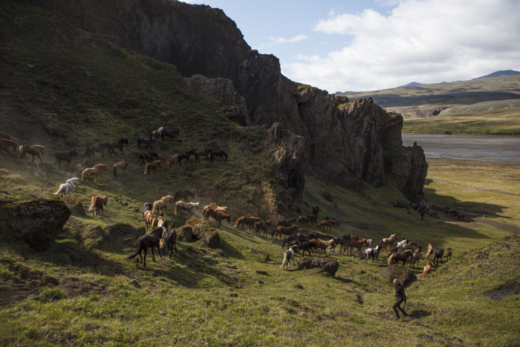
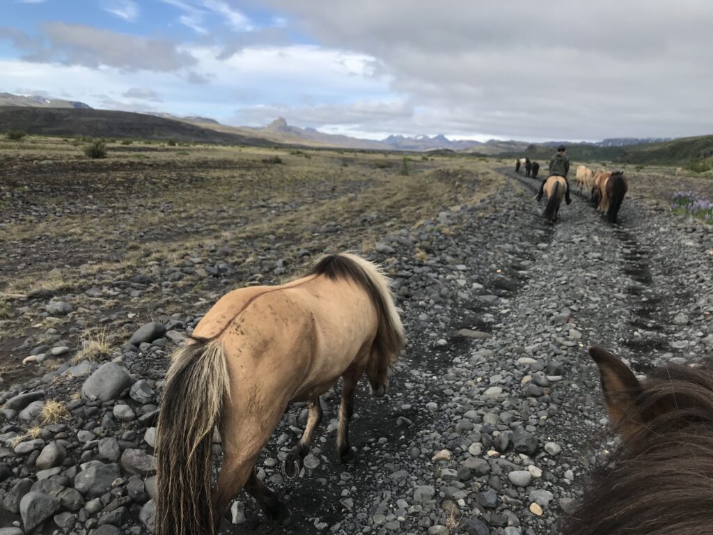
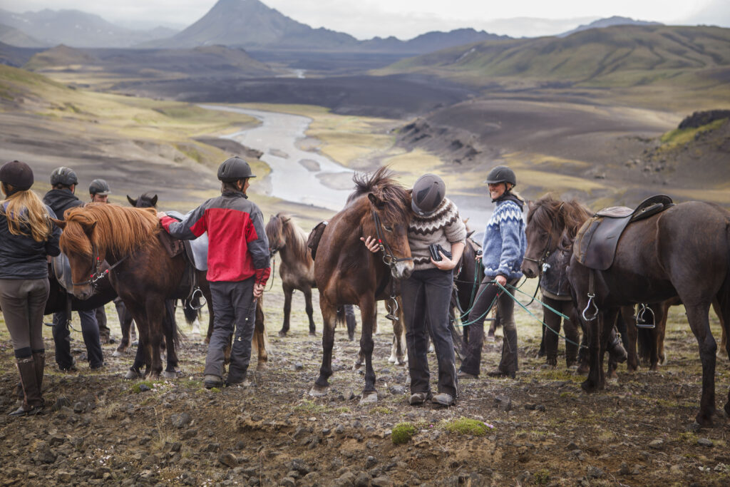
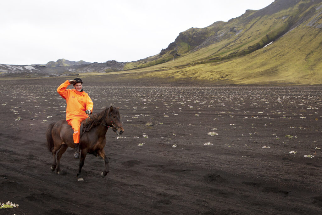
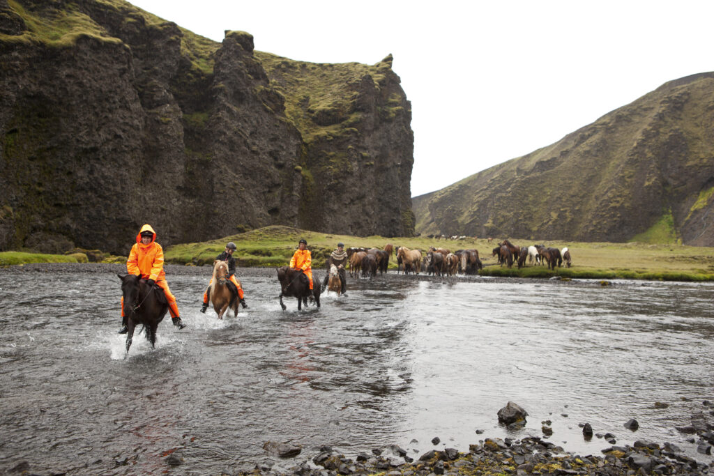
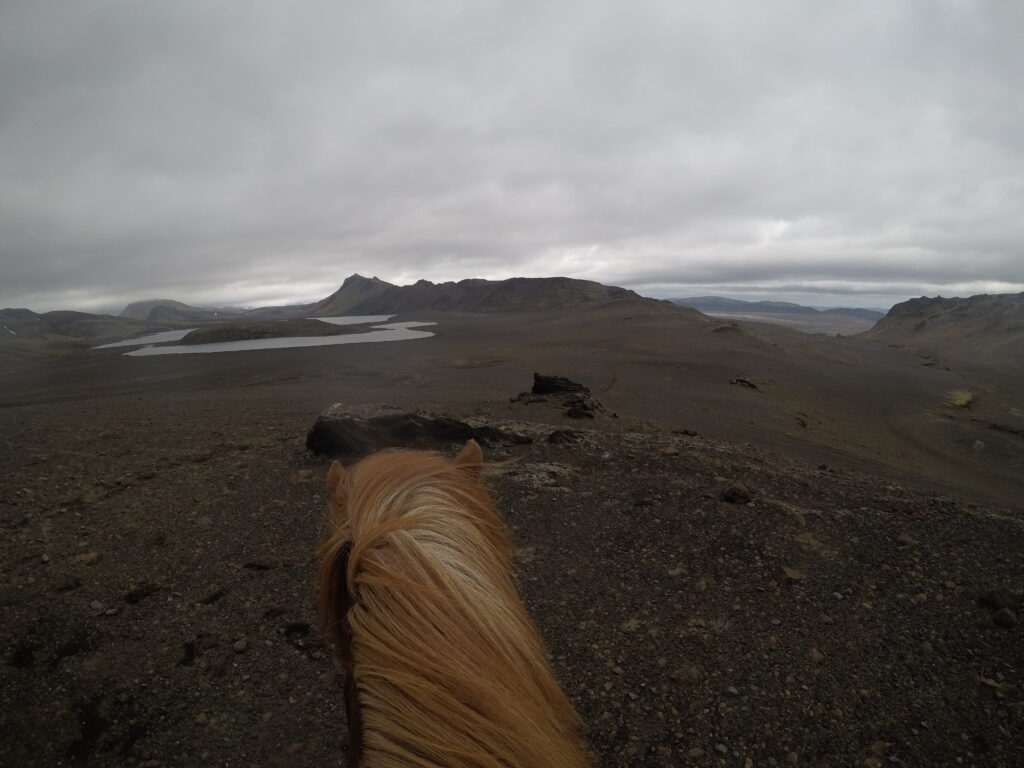
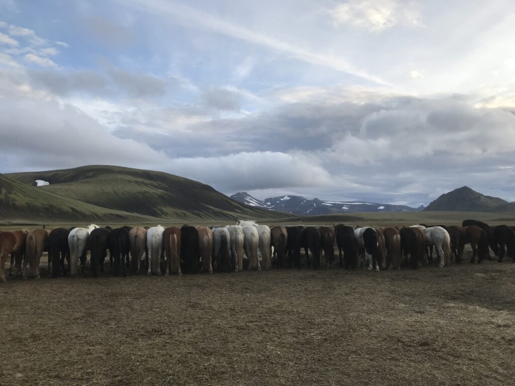
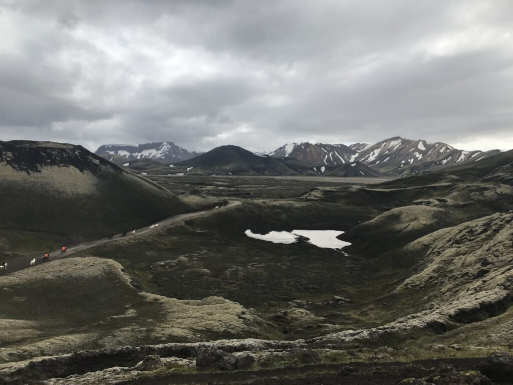
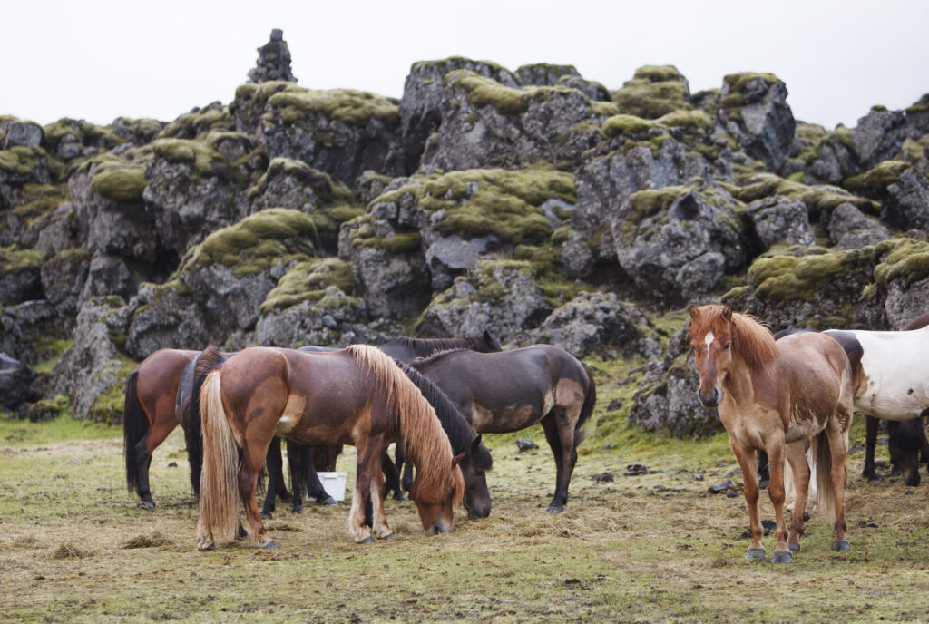
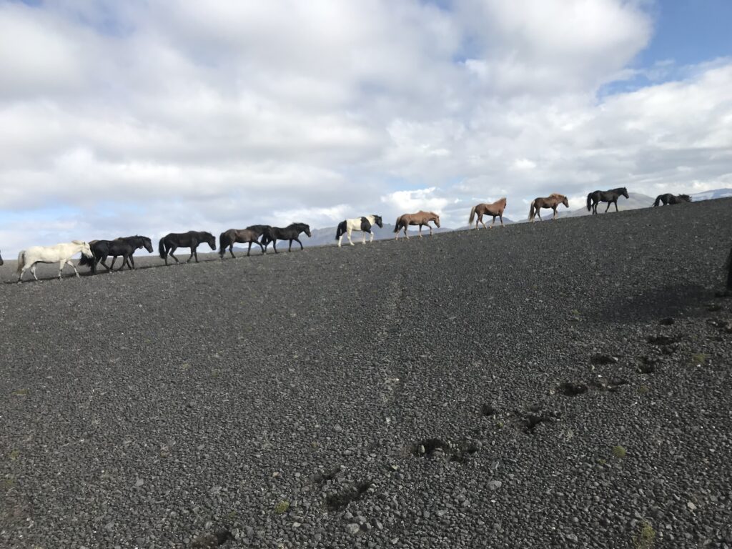
This is an area that is rather remote and while there are corners that are more accessible (and popular), like Landmannalaugar, there are others you can only reach on foot – or on horseback. This is not for the faint-hearted: Long days on horseback, numerous rivers and mountains to cross, endless black deserts and narrow gorges, green valleys and glaciers. Fjallabak has it all. This region displays the sheer forces of nature, that created Iceland in a unique and impressive way. We invite you to join us on our tour and immerse yourself into the Icelandic wilderness. We created a tour that runs for 9 days, more than 300 kilometres with a herd of horses through Iceland’s heartland.

If 9 days are too long and you would only like a taster, you can join us for the Northern part of the tour, just 4 riding days.

On the traces of Njál’s Saga Fljótshlið

Day 1: Fljótshlið – Fell (ca. 25 km)

Pick-up in Reykjavik in the morning and a 1,5 hour drive to our starting point in the historical Fljótshlíð area, where we meet staff and horses and start our ride alongside the Markarfljót River. We are riding past lucious farm land and waterfalls cascading down the slopes, Merkjárfoss (also known as Gluggafoss) being one of the most remarkable ones in this area. Since the early times of settlement this area has been proven to be fertile farmland and it was also the scene for the Saga von Njál one of the most famous sagas in Icelandic culture. We follow the Markarfljót river upstream and ascend into the mountains, up the slope Þórolfsfell to Fell Cabin for an overnight stay. From there we get  great views of Eyjafjallajökull Glacier and Thórsmörk Nature Park.

Auf ins Hochland!

Day 2: Fell – Mosar (ca. 25 km)

We follow the mighty Markarfljót River on the Western banks for about half of the day. Then our path leads us further into the mountains, around the Einhyrningur mountain. We meet Markarfljót again, crossing it this time (on a bridge) and enter the scenic Emstrur area. This grazing area in the highlands pleases our horses and we spend the night in a mountain cabin.

Where the wild sheep roam

Day 3:  Around Mosar (ca. 25-35 km):

We leave the herd behind and continue on individual horses to further explore this wonderful area some more. We ride into the beautiful Botnar valley and stop at a cave used in earlier times as a shelter for farmers when gathering their sheep. The highlight of this day will be looking down at the impressive Markarfljotsglúfur, a gorge that is 200 meter deep. Before heading back to the cabin we stop at a hilltop and enjoy a great 360 degree view over the Southern highlands, including Mýrdalsjökull Glacier and the notorious Katla crater.

Fire and Ice

Day 4: Mosar – Lambaskarðshólar (55 km)

The longest day of our tour lies ahead of us. Our ride will take us North East, between Mýrdalsjökull and Torfajökull Glacier. We follow the Fjallabak Trail across Mælifellssandur, a black sand desert named after the prominent cone shaped volcano Mælifell that rises above the black sand and provides great contrast with its moss green slopes. We ride around it and turn North through the Álftavatnskrókur grazing area and past Lake Álftavatn. We cross several small glacier fed rivers on our way to the cabin. Before reaching the cabin, we have to pass Ófæragíl, a narrow canyon where the horses have to pass through one by one. We end our ride at Lambaskarðshólar cabin, close to River Skaftá. After this long riding day, the hot showers at the cabin will be highly appreciated.

Exploring the Fire Canyon

Day 5: Around Eldgjá (ca. 30 km)

After the long ride the day before, we start today a little bit later and leave the herd at home to rest. We will ride down to the banks of the glacier river Skaftá. Our ride will take us further North to the edge of Eldgjá, the “Fire canyon”. It is around 40 km long. ca. 270 meters deep at its deepest point and 600 meters wide at its widest point. The eruption at 939 AC released approximately 18 cubic kilometers of lava and caused a drop in temperature. The ash cloud could be traced as far as Central Asia. We have a short break there with the opportunity to walk a bit into the canyon to see it´s dimensions.

On the road to Nowhere

Day 6: Lambaskarðshólar – Landmannalaugar 

(ca. 35 km)

Ein langer, aufregender Tag liegt vor uns. Wir reiten mit unserer Herde nordwärts durch die Berge, vorbei an der Eldgjá-Schlucht in den nördlichen Teil des Fjallabak-Naturreservats. Wir reiten über und durch die Gebirgsketten und überqueren Flüsse, bis wir das farbenprächtige Geothermalgebiet von Landmannalaugar erreichen. Wir lassen die Pferde stehen, übernachten aber nicht hier, sondern fahren zur abgelegeneren und ruhigeren Hütte Landmannahellir.

Das Kaleidoskop der isländischen Farben

Day 7: Landmannalaugar – Landmannahellir (ca. 25 km)

Heute fahren wir zurück zum berühmten Landmannalaugar mit seinem natürlichen heißen Pool, umgeben von bunten Bergen und Lava aus dem Jahr 1480. Wir verbringen den Vormittag dort und haben die Möglichkeit, zu wandern oder ein Bad im Pool zu nehmen. Alternativ kann auch ein Ritt Richtung der Schlucht Jökulgil unternommen werden. Nach dem Mittagessen begeben wir uns mit unserer Herde auf den malerischen Ritt zurück nach Landmannahellir. Die Farben wechseln von den blau-gelb-roten Rhyolithgebirgen von Landmannalaugar zu den grün-schwarzen Lavafeldern und den unwirklich blau gepunkteten Seen dazwischen. Wir überqueren Flüsse und Seen und fahren durch ein Obsidianfeld, bevor wir wieder in Landmannahellir ankommen.  Dieser Tag wird zweifelsohne einer der Höhepunkte dieser Tour sein.

Through the Smokey Valley

Day 8: Landmannahellir – Hungurfit (ca. 45 km)

We start our day with a steep ascend into the mountains. When we reached Pokahryggir at about 1000 metres altitude, we are rewarded with a breathtaking view over the Southern Highlands, with Torfajokull, Myrdalsjokull and Eyjafjallajokull in sight. From there we descend into Reykjadalur, a remote valley with hot springs, small geysers and colourful mountains. Our ride takes us past the black obsidian lava fields of Hrafntinnusker towards the prominent table mountain Laufafell, where a hidden waterfall provides the perfect backdrop for a break.  We are riding through a black lava desert and on the banks of the Eystri-Rangá river until we reach the cabin at Hungurfit, just North of Tindfjallajokull, our place for the night.

Winding down

Day 9: Hungurfit – Foss (ca. 35 km)

Our last riding day leads us further West, with the infamous Mt. Hekla volcano to our right side. Hekla is one of the most active and most feared volcano in Iceland, the lava fields in the South date back to the 12th century. Constant eruptions have not only destroyed human settlements throughout the centuries but also created fertile soil. Our ride takes us on the slopes of Tindfjallajökull  through lush farmland at the edge of lava fields and crossing the rivers Ytri-Rangá and Eystri-Rangá. For most parts of the day we follow the well-known Hekla Trail and ride on good riding tracks where it is easy to enjoy the tölt.  This is the perfect day to wind down and let all the impressions from the trip sink in before the farewell dinner in the cabin at Foss.

Schreibe einen Kommentar

Deine E-Mail-Adresse wird nicht veröffentlicht. Erforderliche Felder sind mit * markiert.